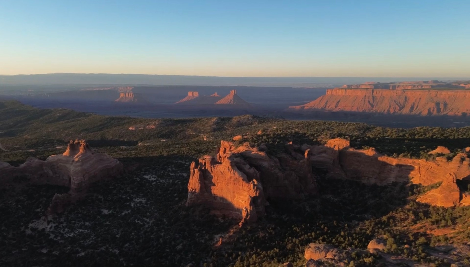
UAP Field Research
Atmospheric Phenomena
Daylight observations. Original footage. Real terrain. Open questions.
Across two expeditions into the Utah backcountry, eight significant UAP sightings were recorded in full daylight.
The current archive contains roughly 13–15 minutes of footage with the objects on camera, including two second-trip observations lasting approximately five minutes each.
The work now moves from observation into analysis.
- 8
- Daytime UAP sightings
- 2
- Field expeditions
- 13–15 MIN
- UAP-on-camera footage
- 5+ MIN
- Longest continuous sighting
Case overview
Two Expeditions
First Trip
I6 Sightings
3–5 Minutes of Footage
All recorded in daylight
The first expedition produced six significant daytime sightings and the first footage archive of the project.
Return Trip
II2 Major Sightings
~10 Minutes of Footage
Two ~5-minute recordings · All daylight
Three weeks later, the return expedition produced two major daylight sightings, each remaining on camera for roughly five minutes.
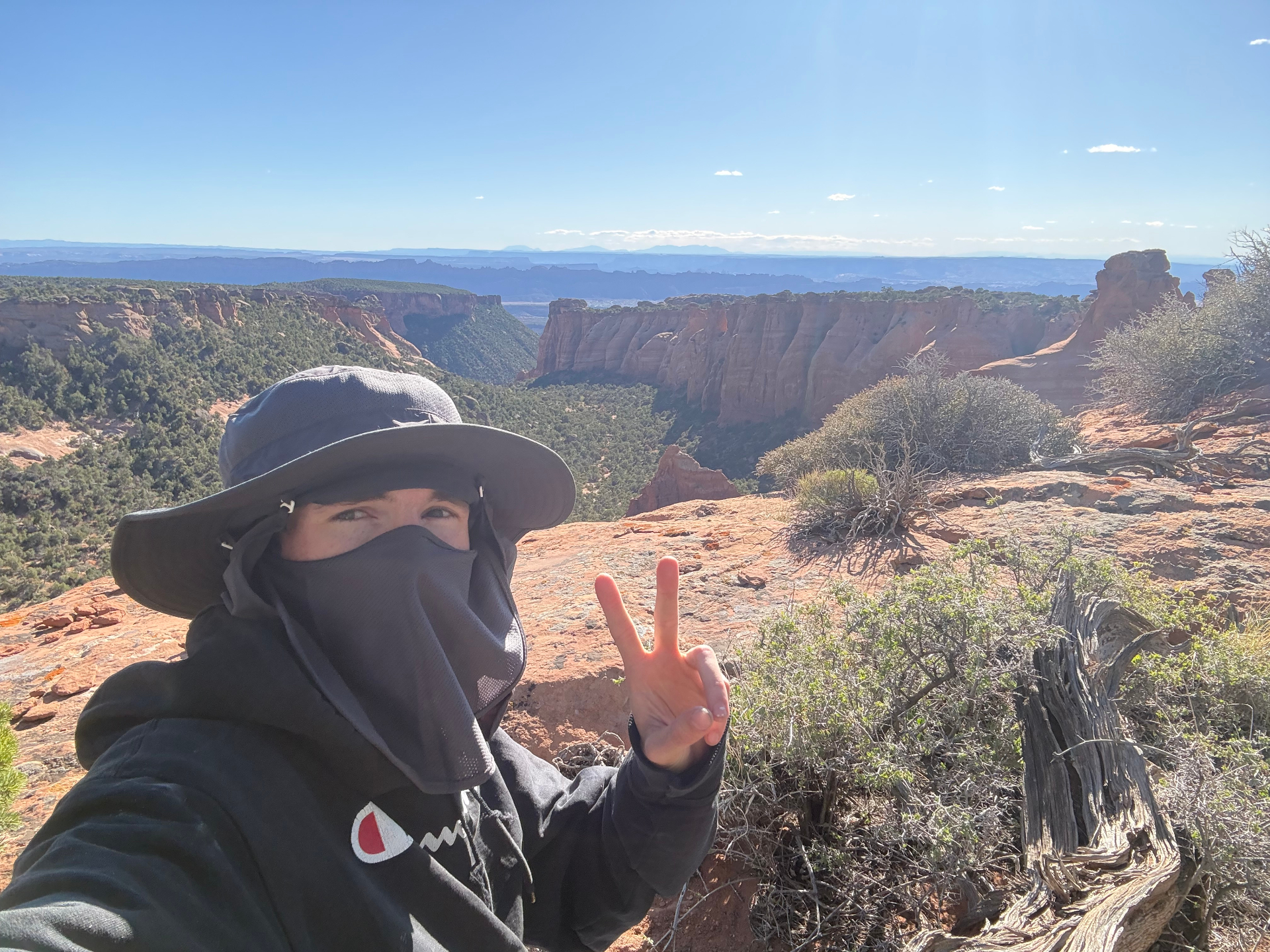
Why the record is different
All of It Was Daylight
Every major recording in the archive happened in daylight.
That gives the footage terrain, horizon, atmosphere, and object movement against a visible environment — far more context than an isolated light in a dark sky.
Daylight changes the record.
Field Method
Prepare
Maps, terrain, timing, equipment, vantage points.
Observe
9–12 hour sessions across multiple days.
Record
Keep the object in frame and preserve context.
Archive
Save original footage, metadata, notes, and locations.
Field Kit
Camera · Drone · Muse EEG · Field power · Maps / notes · Computer
Analysis
From Footage to Geometry
Once the trip ends, the footage becomes a different kind of expedition.
By combining camera position, terrain, timestamps, frame-by-frame motion, and 3D reconstruction, I can rebuild the viewing geometry around an event.
- 01
Source Footage
- 02
Motion Tracking
- 03
Terrain
- 04
3D Reconstruction
- 05
Motion Analysis
Conceptual workspace · not an evidence frame
A camera compresses a three-dimensional event into a flat image.
Blender gives the footage its world back.
It lets me interrogate the footage.
What caught my attention
- Metallic appearance
- Orientation changes
- Apparent rotation
- Lateral motion
- Vertical motion
- Long duration
- No obvious audible signature
Archive includes Original footage · Metadata · Event timeline · Field notes · Terrain imagery · Tracking files · Blender scenes
Central field case
The Three-Week Interval
Then I went back.
The first expedition produced six sightings.
Three weeks later, the return trip produced two major daylight observations and roughly ten additional minutes of footage.
Both remained on camera for approximately five minutes.
At that point, this was no longer one strange clip.
There was repetition.
Repetition.
Trip I
6 sightings
3–5 min
Trip II
2 major sightings
~5 min each
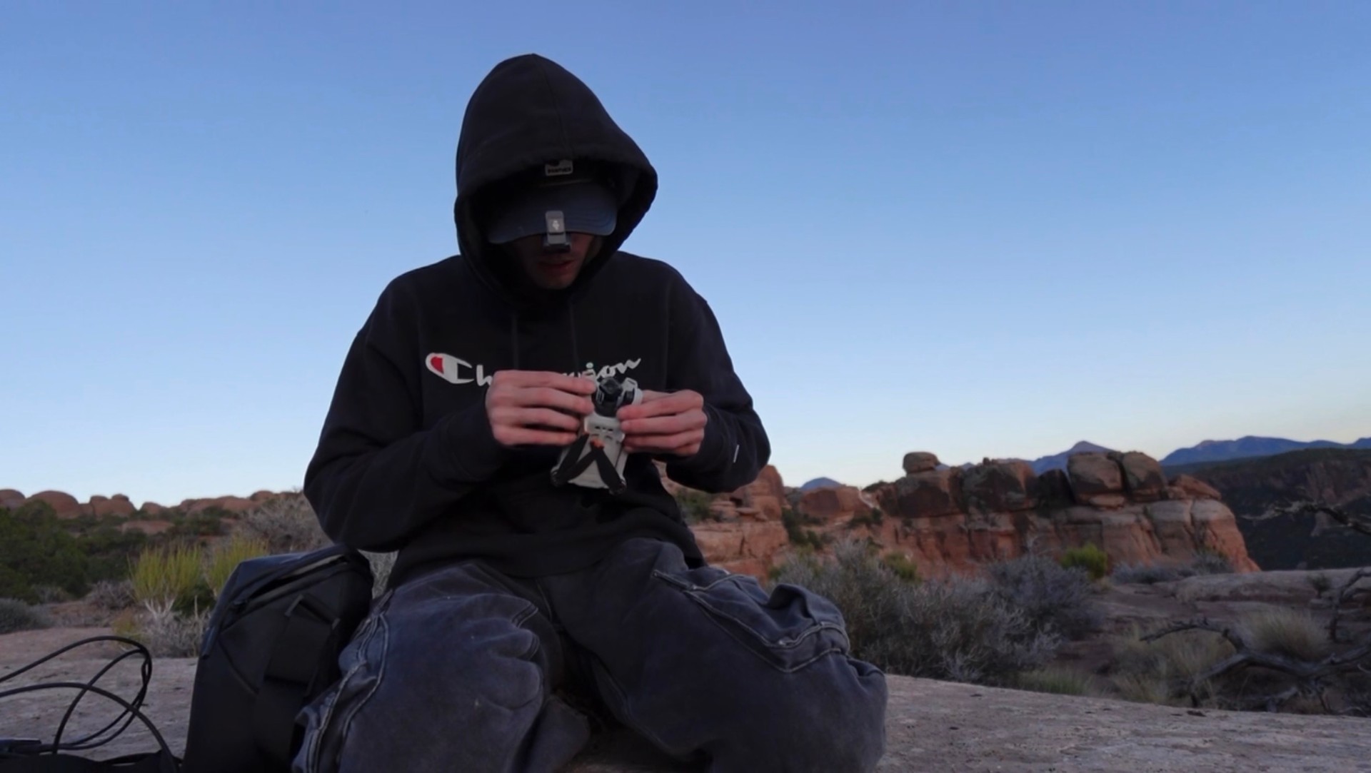
Second-trip analysis in progress
The Crown Jewel
The strongest footage in the current archive came from the return expedition.
Two separate daylight sightings.
Approximately five minutes on camera each.
Current status
Where the Research Goes Next
The footage already exists.
Now the focus is deeper analysis: event timelines, motion tracking, terrain reconstruction, metadata preservation, comparison across sightings, and outside review.
The goal is simple: learn everything the archive can give us.
- 8
- UAP sightings
- 13–15 MIN
- Daylight footage
- 2
- Expeditions
- Active
- Analysis ongoing
Documentary connection
Watch the Expedition
Balanced Rock — Part I follows the first trip itself: the drive into Utah, the landscape, the backpacking route, the first UAP sightings, and the events that turned the expedition into something much larger.